Introduction to Geospatial Raster Data Workshop Offered
Posted
Our second Data Carpentry workshop
We are hosting our second Data Carpentry workshop at the Center for Spatial Data Science on May 31, 2019, this time, on introduction to R for geospatial data.
Previously, we ran a full-day R for Social Scientists workshop to introduce researchers to the programming language. We had 30 individuals attend, including undergraduates, graduate students, postdoctoral students, and faculty, along with one or two individuals outside of academia. The day was a success, and we are glad that our pilot of the Data Carpentry Social Sciences curriculum and the workshop format was enjoyed by all.
Thank you to Colin Quirk for co-instructing, and Cecile Murray and Lilian Huang for helping out during the pilot R for Social Scientists workshop.
Focusing on geospatial data
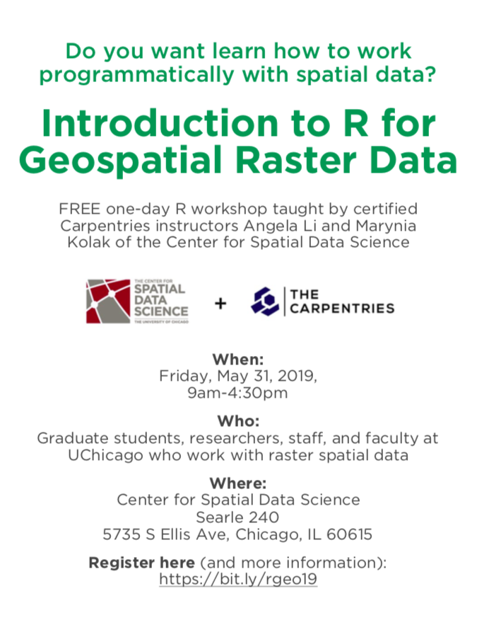
Our next workshop targets individuals at the university who are interested in getting started with geospatial raster data in R. Teaching researchers how to use open-source languages to conduct research with spatial data is a focus at CSDS, so we are eager to tackle this mission. Angela Li and Marynia Kolak of the Center for Spatial Data Science will be co-teaching a day-long workshop on May 31, 2019 covering how to use raster data. This is geared toward environmental applications, but can also be applicable to researchers who use geospatial raster data in their day-to-day work.
Again, notes for the workshop are freely available online so you can access them and teach yourself, even if you cannot attend the event.
Register for the Introduction to Geospatial Raster Data workshop at the Eventbrite link.