About
The Center for Spatial Data Science at the University of Chicago develops open source spatial software, tools, and methods. We actively develop the open source software GeoDa, which provides a graphical interface for spatial analysis and is used by over 200,000 spatial analysts worldwide. We also contribute to the PySAL library, a Python library of spatial analysis functions.
Under the direction of Luc Anselin, we are building out spatial analysis tutorials and resources using open source programming languages such as R. Additionally, we are leading R spatial workshops at our center to teach researchers reproducible spatial methods. We plan to share resources at this website to encourage others to learn spatial methods.
For more about the CSDS, please visit our center’s website. Questions about our work can be directed to spatial@uchicago.edu.

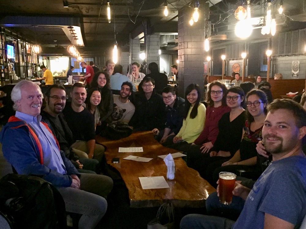
When we’re not thinking about spatial methods, we enjoy stopping by the University of Chicago Pub.