Block-level Earnings New York City (2002-14) from Longitudinal Employer-Household Dynamics (LEHD).
nycearnings
Format
An sf data frame with 108,487 rows, 66 variables, and a geometry column:
- STATEFP10
State FIPS code
- COUNTYFP10
County FIPS code
- TRACTCE10
Tract FIPS code
- BLOCKCE10
Block FIPS code
- GEOID10
Unique Geographic identifier (FIPS code)
- UR10
Urban (U) - rural (R) classification
- UACE10
Urban area census code
- UATYP10
Urban type area. U: Urbanized areas of 50,000 people or more. C: Urban Clusters (UCs) of at least 2,500 and less than 50,000 people.
- ALAND10
Land area
- AWATER10
Water area
- INTPTLAT10
Latitude
- INTPTLON10
Longitude
- Shape_area
Polygon area
- Shape_len
Polygon length
- C000_YR
Total number of jobs in year YR
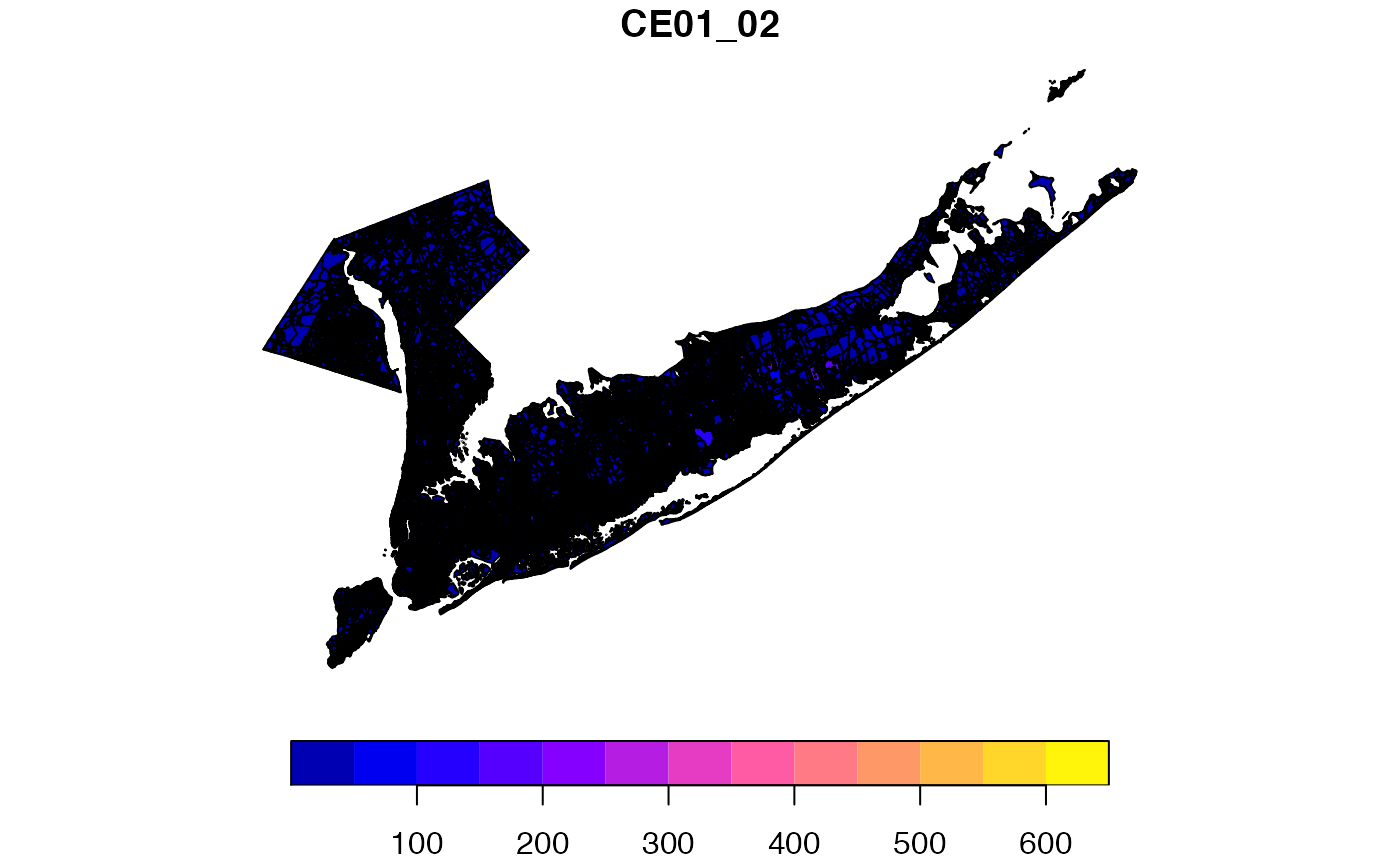
- CE01_YR
Number of jobs with earnings $1250/month or less in year YR
- CE02_YR
Number of jobs with earnings $1251/month to $3333/month in year YR
- CE03_YR
Number of jobs with earnings greater than $3333/month in year YR
Source
Longitudinal Employer-Household Dynamics (LEHD). https://lehd.ces.census.gov/data/lodes/LODES7/LODESTechDoc7.0.pdf
Details
Sf object, USA Contiguous Albers Equal Area Conic. ESRI Projection 102003. Geographic units: 2010 Census blocks.
Examples
if (requireNamespace("sf", quietly = TRUE)) {
  library(sf)
  data(nycearnings)

  plot(nycearnings["CE01_02"])
}