Contains development-related data for 75 districts in Nepal.
nepal
Format
An sf data frame with 75 rows, 61 variables, and a geometry column:
- id
Unique ID
- region
Nepal region
- zone
Nepal zone
- district
Nepal district
- depecprov
Deprivation in economic provisioning
- povindex
Human Poverty Index
- pcinc
Per Capita Income
- pcincppp
Per Capita Income PPP
- pcincmp
Per capita income, Rs. at market price
- malkids
Percentage of children under age five who are malnourished
- lif40
Percentage of People not expected to survive age 40
- nosafh20
Percentage without safe water
- population
Population
- boyg1_5
Number of Boys Enrolled in Grade 1-5 (2012-2013)
- girlg1_5
Number of Girls Enrolled in Grade 1-5 (2012-2013)
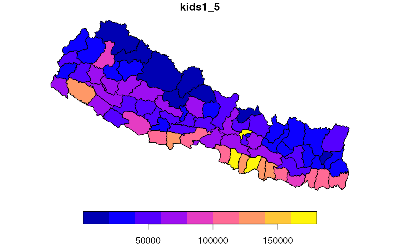
- kids1_5
Number of Children Enrolled in Grade 1-5 (2012-2013)
- schoolcnt
Number of Schools (2012-2013)
- schlpkid
Number of Schools per child (in thousands) (2012-2013)
- schlppop
Number of Schools per population (in thousands) (2012-2013)
- ad_illit
Adult illiteracy rate (2011)
- ad_ilgt50
Dummy variable with value of 1 if adult illiteracy rate >50pct (2011)
- lon
Longitude
- lat
Latitude
- xxCAMT
Project Sector Committed Amount: xx = sector: Agriculture (AG), Business Banking (BANK), Communication (COMM), Conflict Resolution (CON), Education (EDU), Energy (ENGY), Environment (ENV), Forestry (FOR), Government and Civil Society (GOV), Health (HEALT), Humanitarian Aid (HUM), Industry (IND), Multi-Sector (MUL), Social Infrastructure (SOC), Tourism (TOUR), Transport and Storage (TRAN), Water Sanitation (WAT), Total (TOT)
- xxDAMT
Project Sector Distributed Amount by sector xx (see above)
Source
Documentation for original data: AidData (1997-2014 with most projects from 2007-14) and http://data.opennepal.net/
Details
Sf object, unprojected. EPSG 4326: WGS84.