Homicides and selected socio-economic characteristics for continental U.S. counties. Data for four decennial census years: 1960, 1970, 1980 and 1990.
ncovr
Format
An sf data frame with 3,085 rows, 69 variables, and a geometry column:
- NAME
County name
- STATE_NAME
State name
- STATE_FIPS
State fips code (character)
- CNTY_FIPS
County fips code (character)
- FIPS
Combined state and county fips code (character)
- STFIPS
State fips code (numeric)
- COFIPS
County fips code (numeric)
- FIPSNO
Fips code as numeric variable
- SOUTH
Dummy variable for Southern counties (South = 1)
- HRyy
Homicide rate per 100,000 for the years yy: 1960, 1970, 1980 and 1990.
- HCyy
Homicide count, three year average centered on yy: 1960, 1970, 1980, 1990
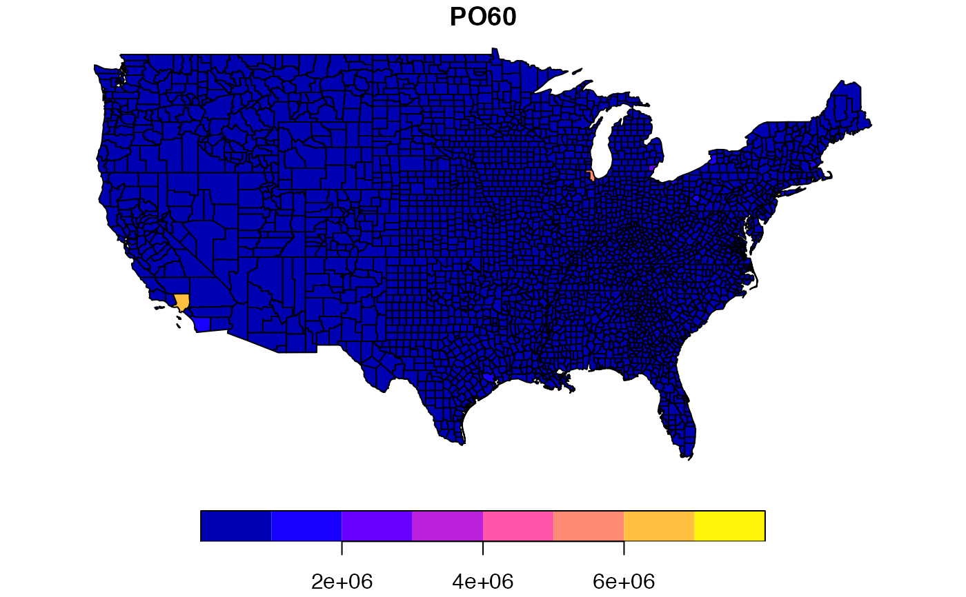
- POyy
County population for the years yy: 1960, 1970, 1980, 1990
- RDyy
Resource deprivation for the years yy: 1960, 1970, 1980, 1990 (principal component)
- PSyy
Population structure for the years yy: 1960, 1970, 1980, 1990 (principal component)
- UEyy
Unemployment rate for the years yy: 1960, 1970, 1980, 1990
- DVyy
Divorce rate for the years yy: 1960, 1970, 1980, 1990 (percentage of males over 14 divorced)
- MAyy
Median age for the years yy: 1960, 1970, 1980, 1990
- POLyy
Log of population for the years yy: 1960, 1970, 1980, 1990
- DNLyy
Log of population density for the years yy: 1960, 1970, 1980, 1990
- MFILyy
Log of median family income for the years yy: 1960, 1970, 1980, 1990
- FPyy
Percentage of families below poverty for the years yy: 1960, 1970, 1980, 1990
- BLKyy
Percentage of black for the years yy: 1960, 1970, 1980, 1990
- GIyy
Gini index of family income inequality for the years yy: 1960, 1970, 1980, 1990
- FHyy
Percentage of female headed households for the years yy: 1960, 1970, 1980, 1990
Source
S. Messner, L. Anselin, D. Hawkins, G. Deane, S. Tolnay, R. Baller (2000). An Atlas of the Spatial Patterning of County-Level Homicide, 1960-1990. Pittsburgh, PA, National Consortium on Violence Research (NCOVR). https://geodacenter.github.io/data-and-lab/ncovr/
Details
Sf object, unprojected. EPSG 4326: WGS84.